TresKit
TresKit

Altimeter & Compass

Explore with confidence. Know your altitude, find true north, and stay prepared wherever the trail takes you.


TresKit on the App Store TresKit on Google Play

No Signal? No Problem.

Altitude and compass work with zero signal. Air quality and UV update whenever you're connected.

TresKit

Everything TresKit Does

Four outdoor tools in one app, built to work when your phone has nothing to connect to.

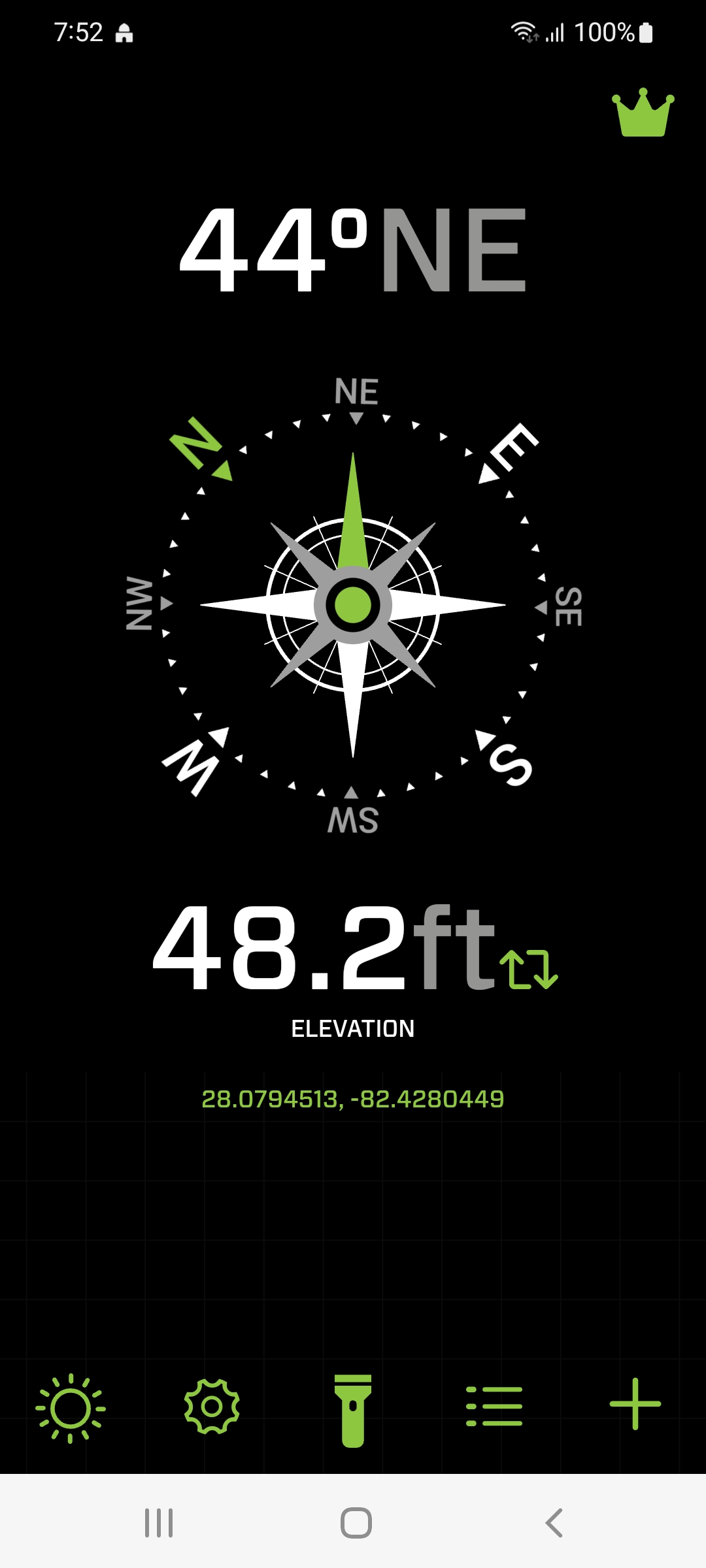
Digital Compass

Find true north with a clear, steady compass reading. No signal needed.
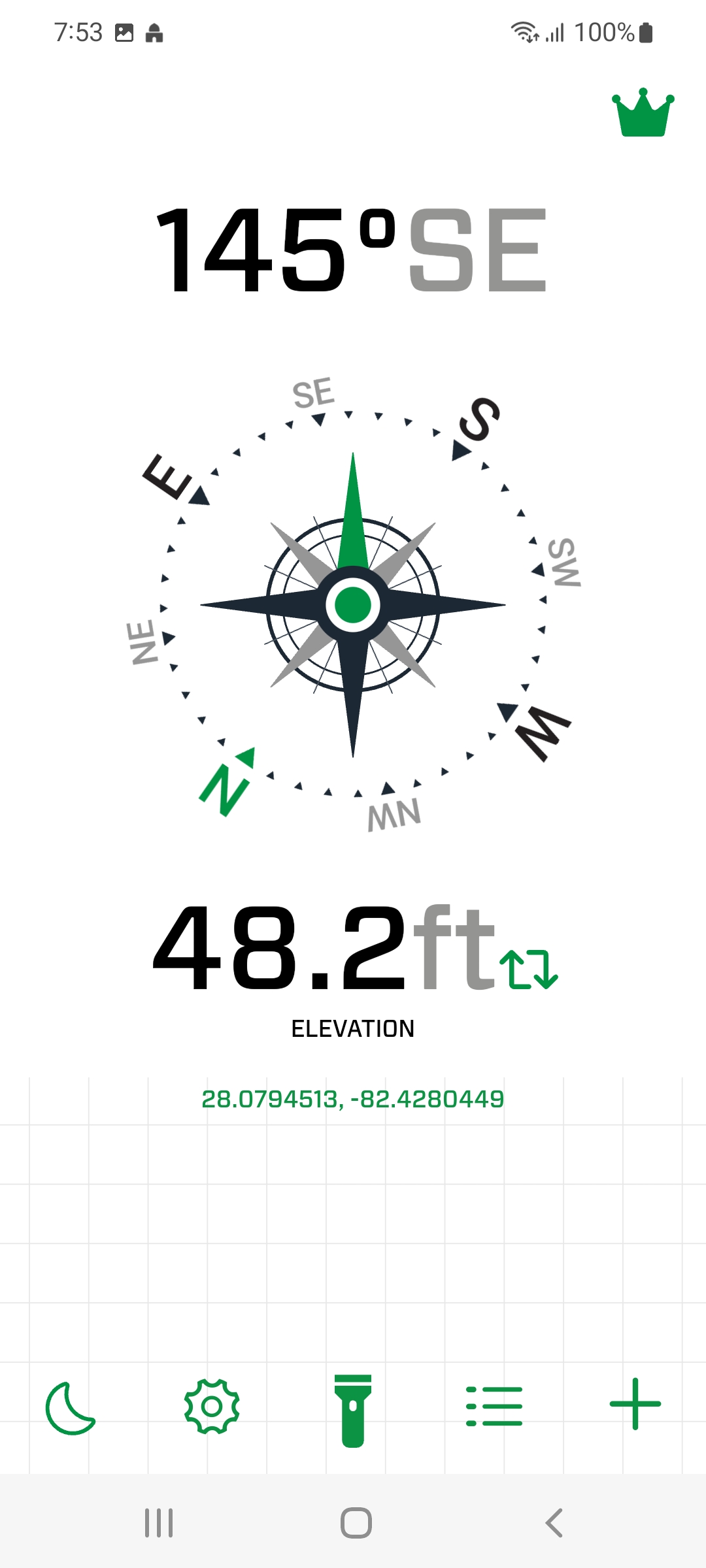
Altimeter

See your current elevation in real time, updated as you climb or descend.

Air Quality Index

Check the current AQI on the US EPA scale before a run or a ride.

UV Index

Know the sun exposure risk, from Low to Extreme, before you head out.

Saved Waypoints

Save a spot with its altitude, heading, and coordinates, then find it again offline.

Flashlight

Light the trail, the tent, or the map without leaving the app.

Meters or Feet

Switch units to whatever you actually think in. Your choice sticks.

Open in Your Maps App

Send any saved coordinates straight to the maps app you already use.

Frequently Asked Questions

What people ask before heading out with TresKit.

The compass and the altimeter work with no signal at all, which is the point of the app. Air quality and UV index are live readings pulled from a weather service, so those two need a connection to refresh. Saved waypoints stay readable offline.

Yes. Every tool is free, with nothing locked behind a paywall. The free version shows ads, and a one-time purchase removes them if you would rather not see them.

Elevation comes from your phone hardware, so expect it to be close rather than exact, and to settle down after a few seconds outdoors. It is built for hiking, cycling, and general orientation. Do not use it for aviation, surveying, or anything safety critical.

Location is what produces your elevation and the local air quality and UV readings. Without it there is nothing to display. Your readings and saved spots stay on your phone.

Yes. Pick the units you think in and the app keeps that setting. The compass shows degrees either way.

Yes. Save any location with its altitude, compass heading, and GPS coordinates, give it your own name, and open it in your maps app when you want directions back.